Most Popular
-
1
Ador CEO denies allegations, accuses Hybe of mistreating NewJeans

-
2
Medical reform committee kicks off despite boycott from doctors
-
3
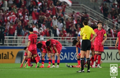
10-man S. Korea lose to Indonesia to miss out on Paris Olympic football qualification
-
4
Hybe-Ador feud should have limited effect on Hybe's overall performance: analysts

-
5
Second Gimpo civil servant found dead, after apologizing for not finishing work


-
6
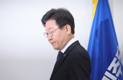
DP leader says he will meet Yoon without conditions
-
7
Over 9,000 hotline calls made by stalking victims in 2023

-
8
Monthly users on local streaming platforms outpace Netflix, Disney+

-
9
[Hello India] Hyundai Motor vows to boost 'clean mobility' in India
![[Hello India] Hyundai Motor vows to boost 'clean mobility' in India](//res.heraldm.com/phpwas/restmb_idxmake.php?idx=644&simg=/content/image/2024/04/25/20240425050672_0.jpg&u=)
-
10
Seoul to promote luxurious side of the city


![[Hello India] Hyundai Motor vows to boost 'clean mobility' in India](http://res.heraldm.com/phpwas/restmb_idxmake.php?idx=644&simg=/content/image/2024/04/25/20240425050672_0.jpg&u=)


According to the Korea Meteorological Administration, Hinnamnor was located 460 kilometers south-southwest of Jeju Island's Seogwipo, moving north at a speed of 19 kilometers per hour with an atmospheric pressure of 935 hectopascals at its center -- traveling faster than an earlier estimate of 12 kilometers per hour.
The typhoon is currently classified as a "very strong" typhoon with a maximum wind speed of at least 49 meters per second, or 176 kph.
Typhoons are classified into four categories: medium, strong, very strong and super strong. Super strong refers to typhoons with a maximum wind speed of at least 54 mps, or 194 kph.
Typhoon Hinnamnor was expected to pass 30 km south of the city of Seogwipo on the southern coast island of Jeju by midnight. The typhoon will then approach 90 km west-southwest of Busan at around 6 a.m. Tuesday, the state weather agency said.
When the typhoon passes Busan, Typhoon Hinnamnor will become slightly weakened, with an atmospheric pressure of 955 hectopascals at its center. But, the typhoon would still be one of the strongest the country has ever seen.
The lower the typhoon’s atmospheric pressure falls, the faster wind speeds become, making the typhoon stronger.
Typhoon Hinnamnor is likely to maintain its strength even after passing through the country, the KMA added.
With the typhoon approaching, the whole country has seen rains and strong winds from Monday, with a heavy rain warning issued for all parts of the country.
According to the KMA, South Korea is expecting an accumulated rainfall between 100 and 300 millimeters during the two-day period. The mountain areas of Jeju Island are expected to receive over 600 mm, while other parts of Jeju and coastal regions in the southern part of the country could receive more than 400 mm.
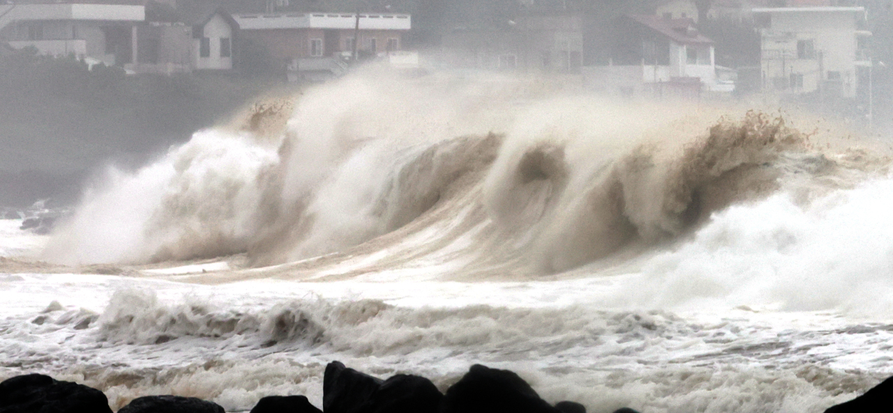
The sea off Jeju Island and other coastal areas in the southern part of the country will experience strong winds -- between 14-50 mps -- with waves reaching 3 to 12 meters high. For Jeju Island, the maximum speeds of winds could come to between 40 and 60 mps, or 144-216 kph.
Due to strong winds and rainfall, all 140 flights to or from Jeju have been canceled. The majority of schools on Jeju Island and in southern regions of the country have also decided to shift to online classes until Tuesday.
The Greater Seoul area also is expecting rainfall of between 100 and 300 mm through Tuesday, while northern Gyeonggi Province and Gangwon Province expect to see over 400 mm of rainfall.
The rainfall in the northern regions of the country is partly due to a clash between the typhoon's humid and warm air mass and the dry and cold air mass from the north, according to the state weather agency.
As the country expects Typhoon Hinnamnor to deal a hard blow, the government held a typhoon response meeting on Sunday and raised the Central Disaster and Safety Countermeasures Headquarters' emergency response posture to the highest level.
President Yoon Suk-yeol on Monday instructed the authorities to "take actions first and report later" to minimize damage from the powerful typhoon.
Yoon also noted that he will be on "emergency standby" in a green civil defense uniform when entering his presidential office in Yongsan-gu, Seoul.