

Typhoon unlikely to make landfall, but heavy rain and strong winds could hit southern Korea
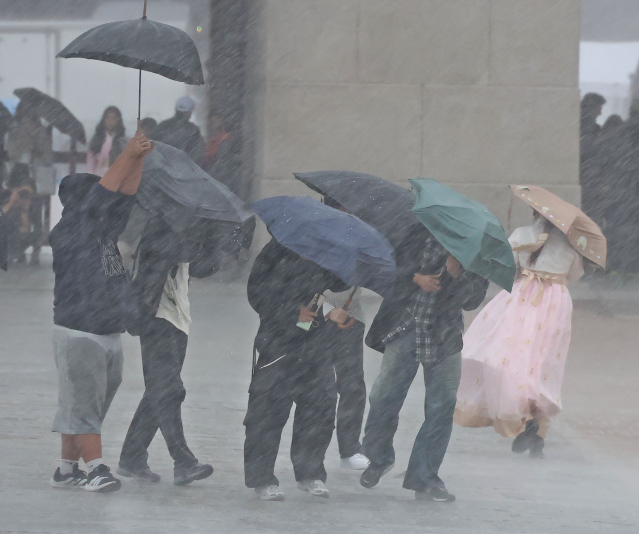
With Typhoon Champi moving north from the western Pacific toward Japan, forecasters warned Thursday that Jeju Island and southern parts of South Korea could feel its effects, although the storm is not expected to make landfall on the Korean Peninsula.
The Korea Meteorological Administration said that, as of 3 a.m., Champi was moving northwest at a speed of 20 kilometers per hour over waters about 750 kilometers south of Okinawa, Japan.
The storm had a central atmospheric pressure of 915 hectopascals and maximum sustained winds of 55 meters per second, placing it at Level 5, the highest intensity category, known as "super typhoon."
The state weather agency classifies typhoons into five levels based on wind speed, ranging from Level 1 at 17 meters per second to Level 5 at 54 meters per second or higher.
Champi is expected to gradually weaken later in the day as it approaches waters east of Taiwan. The storm is then forecast to turn northeast, passing about 380 kilometers southeast of Shanghai, China, on Sunday morning before reaching waters roughly 110 kilometers west of Kagoshima, Japan, on Monday. By then, it is expected to have weakened significantly to a Level 1 typhoon before making landfall on Japan's Kyushu island and dissipating.
Authorities said a direct landfall on the Korean Peninsula remains unlikely, as falling sea surface temperatures and a cold continental high-pressure system moving in from the northwest are expected to hinder the typhoon's northward advance.
But southern South Korea could still feel the typhoon's indirect effects over the weekend, as the storm pushes large amounts of moisture northward, bringing heavy rain and strong winds.
According to the KMA, rainfall is expected to begin Saturday in Jeju Island and South Jeolla and South Gyeongsang provinces, spreading to the Chungcheong provinces and other southern regions Sunday before continuing into Monday morning.
Rough seas and high waves are also anticipated around Jeju Island and along the southern coast, posing risks to maritime safety.
"The timing and areas of rainfall could change depending on the typhoon's path and intensity, so we urge the public to regularly check the latest weather updates," a KMA official said.
South Korea did not have a single typhoon make landfall this summer.
cjh@heraldcorp.com