

South Korea is expected to remain in the grip of a sudden cold spell until Thursday, with sub-zero wind chill and frost advisories issued in some regions and rain forecast for parts of the east and southeast coasts.
According to the Korea Meteorological Administration on Monday, the cold, late-fall conditions will continue into the week, following an abrupt drop in temperatures and strong northwesterly winds over the weekend.
The change was attributed to a cold air mass driven by a high-pressure system expanding from northern China, which brought cold air and strong winds into the peninsula, creating a sudden shift to chilly conditions across most of the country.
Morning temperatures are expected to remain below 10 degrees Celsius nationwide for the rest of the week, with daytime highs ranging between 11 C and 22 C — roughly 2 C to 7 C below seasonal norms.
Due to the chill, frost is likely to form in some inland and mountainous areas across the country. This includes the northern areas in Gyeonggi Province, inland regions in Gangwon Province, as well as high-elevation regions in North Chungcheong and North Jeolla Province's eastern regions.
Light rain is also forecast for the east coast, from Gangwon Province down through the North and South Gyeongsang provinces through Thursday. Rain may even switch to snow in the mountainous regions of northern Gangwon Province, with up to 1 centimeter of snow expected.
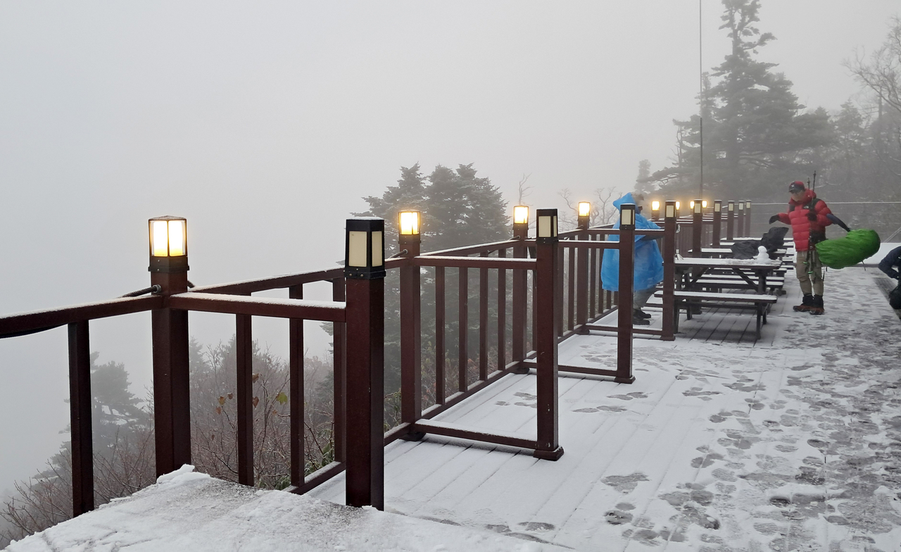
On Monday, temperatures dropped below seasonal norms, with the central region seeing morning temperatures of around 5 C and the southern region at 10 C — a 5-10 degree decline from morning temperatures the day before.
In Seoul, morning temperatures on Monday dropped to 5.3 C, the lowest reading since April and below the city’s average November low of 6.3 C. Due to strong winds, wind chill temperatures were even lower, hitting 3.6 C.
Seoraksan also saw morning temperatures fall below zero at minus 1.3 C at around 7 a.m., with wind chill temperatures of minus 8.2 C. The first snow of the year was also observed in the mountains, with up to 1 cm of snow in the morning.
lee.jungjoo@heraldcorp.com



![[Exclusive] Ateez to return in November](https://wimg.heraldcorp.com/news/cms/2026/09/02/news-p.v1.20260902.76162fb0ba55493aad1c076f240d0750_R.jpg?type=h&h=120)