

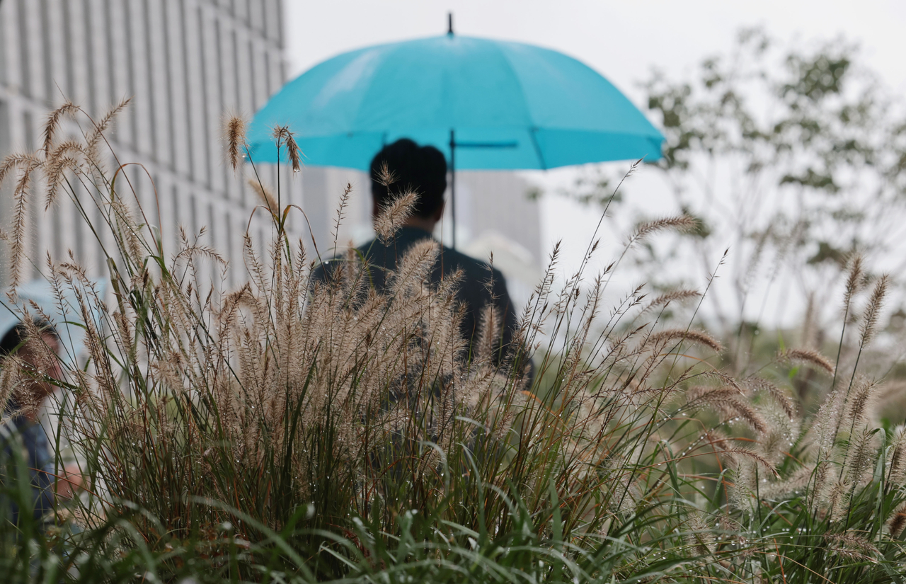
Rain is expected to begin late Friday afternoon and persist through the weekend across much of South Korea, before a sharp temperature drop early next week, according to the Korea Meteorological Administration.
A mass of cold northern air will sweep into the peninsula after a monthlong spell of unusual autumnal rain, bringing a sudden chill that could mean morning lows as brisk as 3 degrees Celsius and possibly deliver the season’s first snow to the mountains of Gangwon Province before winter.
Light drizzle will start in parts of the western regions, including Greater Seoul, which encompasses Seoul, Incheon and Gyeonggi Province, with rain spreading nationwide overnight.
Most areas will see rain through Saturday morning, with clearer skies returning later in the day, except along Gangwon Province’s eastern coast and on Jeju Island, where rain is expected to linger until Sunday morning.
The KMA forecast total rainfall between 20 and 70 millimeters in eastern Gangwon Province, 10 to 50 millimeters in Daejeon, Sejong, South Chungcheong Province and North Jeolla Province and 10 to 40 millimeters in Seoul, Gyeonggi Province, Busan, North and South Gyeongsang provinces and Jeju Island from Friday through Saturday.
In particular, the agency warned that from early Saturday morning, southern regions and Jeju Island could see brief thunderstorms accompanied by gusty winds, while the Chungcheong and Jeolla provinces may experience heavy rainfall of around 20 millimeters per hour, leading to reduced visibility and slippery roads.
Jeju Island is also expected to see occasional rain between Sunday morning and early afternoon, the agency added.
Daytime highs will range between 19 and 26 degrees Celsius on Friday, falling to around 17 to 24 C on Saturday. Morning lows will gradually decline from around 14 to 21 C on Saturday and 8 to 18 C on Sunday, the KMA said.
Once the rain clears, cold air from the north will push into the peninsula Sunday afternoon, causing temperatures to fall significantly.
Morning lows on Monday are expected to range between 3 and 7 degrees Celsius, with daytime highs between 14 and 17 C nationwide. Strong northwesterly winds will make it feel even colder, according to the KMA.
Gangwon Province’s inland and mountainous regions may see frost and snow flurries are possible over high-altitude areas such as Daegwallyeong, the agency said.
Recently, South Korea has faced a series of extreme weather patterns, including summer heat waves, unusual autumnal rains and early cold snaps.
This summer, from June to August, the country broke records for both high and low temperatures, while new weather records keep emerging this fall.
In September, total rainfall reached 228.8 millimeters, which is about 147 percent of the seasonal average of 155.1 millimeters. The country experienced 15.1 days of rain in September, up from the average of 9.3 days — this is the second-highest figure on record.
Rain fell almost every weekend, and in mid-September, some areas received torrential downpours of about 100 millimeters in a single day.
Typically, rainfall during this season happens when cold air from the north meets the retreating North Pacific high-pressure system. However, this year, the high-pressure system remained longer than usual, extending the rainy weather across much of the country.
flylikekite@heraldcorp.com


![[World Class] HUFS bets on Songdo, AI to redefine what a global university can do](https://wimg.heraldcorp.com/news/cms/2026/10/18/news-p.v1.20260930.7e4dbeacfc1d4d16848c0e2a441c04e6_R.jpg?type=h&h=120)
