
Most Popular
-
1
Tensions heighten ahead of first president-opposition chief meeting
-
2
Seoul to provide housing subsidy to married couples with newborns
-
3
Rapper jailed after public street fight with another rapper

-
4
[KH Explains] No more 'Michael' at Kakao Games
![[KH Explains] No more 'Michael' at Kakao Games](//res.heraldm.com/phpwas/restmb_idxmake.php?idx=644&simg=/content/image/2024/04/28/20240428050183_0.jpg&u=20240428180321)
-
5
Woman gets suspended term for injuring boyfriend with knife


![[KH Explains] No more 'Michael' at Kakao Games](http://res.heraldm.com/phpwas/restmb_idxmake.php?idx=644&simg=/content/image/2024/04/28/20240428050183_0.jpg&u=20240428180321)

-
6
Yoon, Lee end first talks with differences, agree to meet more

-
7
China outpaces Korea in smaller OLED shipments for 1st time

-
8
[Grace Kao] Hybe vs. Ador: Inspiration, imitation and plagiarism
![[Grace Kao] Hybe vs. Ador: Inspiration, imitation and plagiarism](//res.heraldm.com/phpwas/restmb_idxmake.php?idx=644&simg=/content/image/2024/04/28/20240428050220_0.jpg&u=)
-
9
NewJeans pops out ‘Bubble Gum’ video amid troubles at agency

-
10
Samsung chief bolsters ties with Germany’s Zeiss


![[Grace Kao] Hybe vs. Ador: Inspiration, imitation and plagiarism](http://res.heraldm.com/phpwas/restmb_idxmake.php?idx=644&simg=/content/image/2024/04/28/20240428050220_0.jpg&u=)


Colder weather expected from Wednesday following rain
By Lee Jung-jooPublished : Dec. 12, 2023 - 15:05
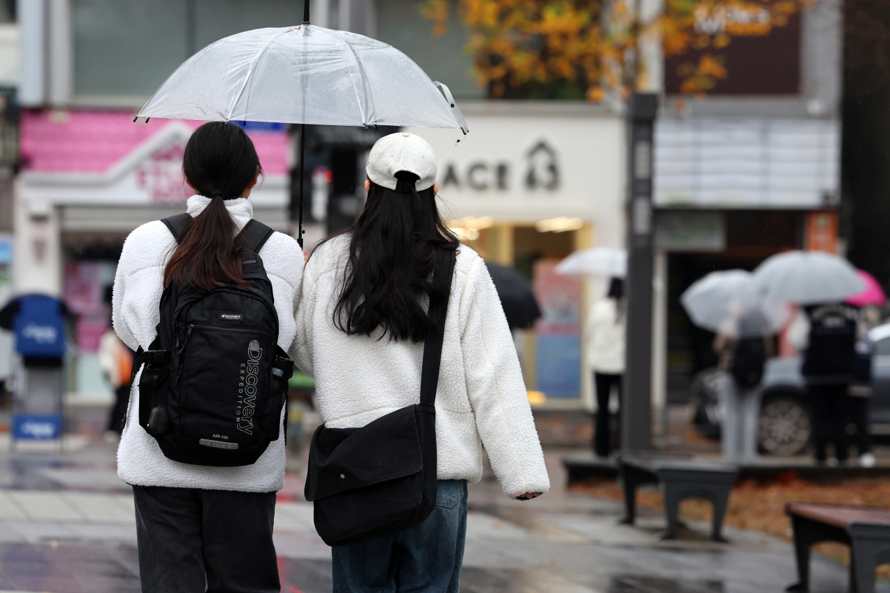
Following rain across South Korea in the past few days, the Korea Meteorological Administration stated Tuesday that temperatures will begin to drop below zero from Wednesday morning.
“After the low-pressure system that brought nationwide rain ebbs away, Korea will be on the edge of the high pressure over northern China,” said the KMA. “This will bring in northern winds and colder temperatures into the country.”
According to the weather authorities, Wednesday morning temperatures on average are expected to range between minus 3 degrees Celsius and 7 C, a difference of 5 to 10 degrees compared to Tuesday’s temperatures. On the other hand, high temperatures are expected to range from 9 C to 16 C, which is higher than Tuesday’s high temperatures ranging from 5 C to 13 C.
In Seoul, low temperatures are expected to reach 1 C in the morning with highs up to 11 C.
“Temperatures are expected to fluctuate on Wednesday, so people should make sure to stay warm and take care of their health to avoid getting sick,” said the KMA.
On Thursday and Friday, the weather is expected to be cloudy with a chance of rain across Korea, with high temperatures rising to 15 C due to the low pressure approaching Korea from the south. After the rain stops, the KMA predicts that the temperatures will drop from Saturday “due to the influence of the cold continental anticyclone.”
Meanwhile, Korea saw an unusual two days of nationwide rain on Monday and Tuesday as the low pressure that developed near Shanghai passed over Korea toward the southwestern sea.
On Monday, the northern part of Gangneung in Gangwon Province experienced 57.6 millimeters of rain, the highest recorded in a single day for December since 2008. On Monday, 53.9 millimeters of rainfall was also recorded over the East Sea -- the highest recorded in a single day in December since 1992. The mountainous regions near Gangwon Province saw up to 70 centimeters of snow, with 10 cm more predicted until Tuesday evening.
This weather pattern is usually common in Korea between February and March as winter passes. Normally in December, a continental anticyclone usually expands from the northwestern part of Korea, then changes into a migratory anticyclone while passing over the country, with low pressure following the high pressure. In this case, since low pressure approaches from the northwestern part of Korea which is relatively dry, there is not much precipitation, and rain or snow mainly falls in the metropolitan area and the west coast.


![[Herald Interview] Xdinary Heroes shoot for the next level with 'Troubleshooting'](http://res.heraldm.com/phpwas/restmb_idxmake.php?idx=642&simg=/content/image/2024/04/29/20240429050745_0.jpg&u=)