
Most Popular


-
6
Actor’s excessive airport security sparks probe into human rights violations

-
7
Man who let his father die due to financial difficulties to be released on parole

-
8
Actor Yoo Ah-in accused of sexual attack

-
9
S. Korea, China shifting from tensions to cooperation: Seoul

-
10
LG Electronics achieves record earnings in Q2


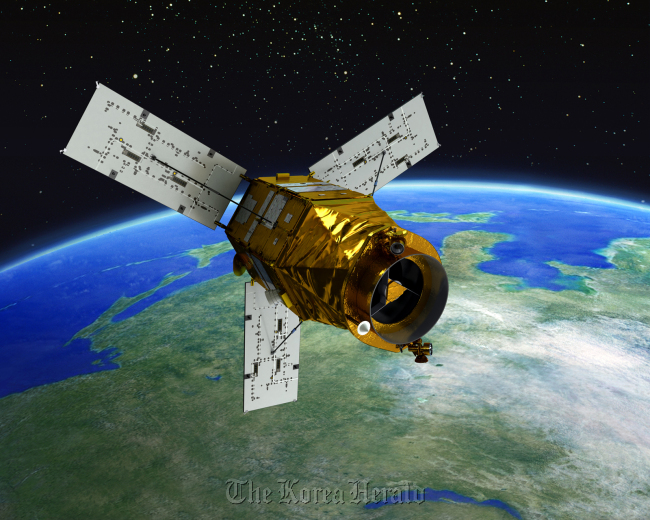
Korea to launch geostationary research satellite in 2018
By Korea HeraldPublished : May 28, 2012 - 19:52
South Korea plans to launch its own geostationary orbit satellite by 2018 for atmospheric environmental research over the Korean Peninsula and Northeast Asia, the Environment Ministry said Monday
The National Institute of Environmental Research will pick a foreign firm within this year to jointly develop the new satellite, officials said.
Under the development plan, Seoul is to build the main body of the satellite and a ground station for its launch in 2015.
The National Institute of Environmental Research will pick a foreign firm within this year to jointly develop the new satellite, officials said.
Under the development plan, Seoul is to build the main body of the satellite and a ground station for its launch in 2015.
Europe and the U.S. currently use low-earth orbit satellites to monitor climate change and other atmospheric phenomena. They plan to launch geostationary satellites in 2019 and 2020, respectively.
Seoul authorities have already drawn up standards on the satellite’s size and capabilities in line with the international criteria after discussing related issues with U.S. and European experts at special sessions held last month at the Committee on Earth Observation Satellites and the European Geosciences Union.
With a 10-year lifespan, the satellite is to monitor pollutants during the daytime, such as ozone, sulfur dioxide, nitrogen dioxide and formaldehyde, officials said.
“Through the launch of the satellite, we expect that we can take the initiative in the discourse of climate change and strengthen our national image as a high-tech nation,” an NIER official told media.
A geostationary orbit satellite revolves at around 35,800 kilometers above the Earth’s equator and follows the direction of the Earth’s rotation.
A geostationary satellite stays in a fixed position above the Earth’s surface, and is convenient for focusing on specific areas. But it costs much more to develop and launch a geostationary orbiting satellite than a low-earth orbit one due to technical complexities.
A low-earth orbit satellite floats about 160-2,000 kilometers above the earth’s surface. Since it moves closer to the earth than the geostationary one, its transmission time is shorter and more stable.
It requires less energy to run a LEO satellite. A majority of satellites are in low-earth orbit and complete one revolution around the earth in about 90-120 minutes.
By Song Sang-ho (sshluck@heraldcorp.com)
-
Articles by Korea Herald


![[Today’s K-pop] Treasure to publish magazine for debut anniversary](http://res.heraldm.com/phpwas/restmb_idxmake.php?idx=642&simg=/content/image/2024/07/26/20240726050551_0.jpg&u=)