

Most Popular
-
1
[KH Explains] Will 6-day workweek for executives help Samsung avert crisis?
![[KH Explains] Will 6-day workweek for executives help Samsung avert crisis?](//res.heraldm.com/phpwas/restmb_idxmake.php?idx=644&simg=/content/image/2024/04/21/20240421050096_0.jpg&u=20240421164408)
-
2
Korea's food inflation surges to third-highest in OECD

-
3
W13tr cash handout likely top agenda for Yoon's 1st meeting with Lee

-
4
[AtoZ into Korean mind] Humor in Korea: Navigating the line between what's funny and not
![[AtoZ into Korean mind] Humor in Korea: Navigating the line between what's funny and not](//res.heraldm.com/phpwas/restmb_idxmake.php?idx=644&simg=/content/image/2024/04/22/20240422050642_0.jpg&u=)
-
5
Med school deans urge for freeze of 2025 quota

![[KH Explains] Will 6-day workweek for executives help Samsung avert crisis?](http://res.heraldm.com/phpwas/restmb_idxmake.php?idx=644&simg=/content/image/2024/04/21/20240421050096_0.jpg&u=20240421164408)


![[AtoZ into Korean mind] Humor in Korea: Navigating the line between what's funny and not](http://res.heraldm.com/phpwas/restmb_idxmake.php?idx=644&simg=/content/image/2024/04/22/20240422050642_0.jpg&u=)

-
6
Yoon seeks rebound, taps 5-term lawmaker as chief of staff

-
7
Medical standoff deepens as doctors reject new med school plan, talks
-
8
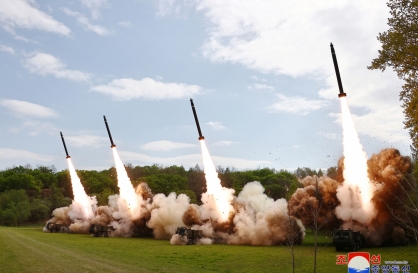
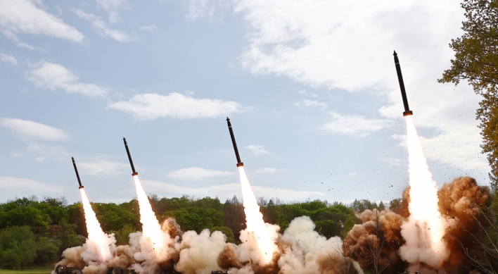
N. Korea says Kim guided simulated nuclear counterattack drill
-
9
Culture Ministry, KTO unveil Hallyu-themed tours

-
10
[Herald Interview] Why Toss invited hackers to penetrate its system
![[Herald Interview] Why Toss invited hackers to penetrate its system](//res.heraldm.com/phpwas/restmb_idxmake.php?idx=644&simg=/content/image/2024/04/22/20240422050569_0.jpg&u=20240422150649)


![[Herald Interview] Why Toss invited hackers to penetrate its system](http://res.heraldm.com/phpwas/restmb_idxmake.php?idx=644&simg=/content/image/2024/04/22/20240422050569_0.jpg&u=20240422150649)

Downpours, gales forecast nationwide, as typhoon approaches
By 김윤미Published : July 18, 2012 - 10:42
South Korea's weather forecasters warned of heavy rains of up to 200 millimeters and strong winds in the country's southern and central regions, as Typhoon Khanun is approaching the southern island of Jeju on Wednesday.
Khanun, meaning "jack fruit" in Thai, was 490 kilometers south of Seogwipo in the southern part of Jeju as of 6 a.m. on Wednesday and heading northwest along the country's western coast at 20 kilometers per hour, according to the Korea Meteorological Administration.
After passing waters some 80 kilometers off the country's western port city of Gunsan early Thursday, the storm is expected to land near North Korea's Hwanghae Province, it added.
The typhoon, the country's first tropical one of the season, is middle in scale with central pressure of 988 hectopascals and maximum wind speed of 25 meters per second, the KMA said, adding it is forecast to get weaker later in the day as it passes through warmer waters.
Heavy downpours and the gale will start on Jeju Island and in the southern part of the country Wednesday afternoon to continue through early Thursday, the KMA said. Up to 200 millimeters of rains are expected in some regions for two days, it added.
The central and eastern regions, including Seoul, will come under the full power of the tropical storm from late Wednesday, which will bring up to 80 millimeters of rain overnight, according to the forecaster.
"Heavy rains of 30 millimeters per hour and strong winds of 20 meters per second are expected in some regions," a KMA official said. "Extra precautions are required as the monsoon rains so far have already weakened ground."
The KMA has issued typhoon advisories in Jeju Island and waters off the island to come into effect at 12:00 p.m.
(Yonhap News)


![[Herald Review] Xdinary Heroes kicks off five-month-long project with solo concert, teases new album](http://res.heraldm.com/phpwas/restmb_idxmake.php?idx=652&simg=/content/image/2024/04/22/20240422050539_0.jpg&u=20240422152154)
![[Today’s K-pop] Illit logs 100m Spotify streams with debut song](http://res.heraldm.com/phpwas/restmb_idxmake.php?idx=642&simg=/content/image/2024/04/22/20240422050650_0.jpg&u=)